General discussion
The route north from the first arrow to the fire break trail is the easiest and really is no different technically to the ridge walk itself.
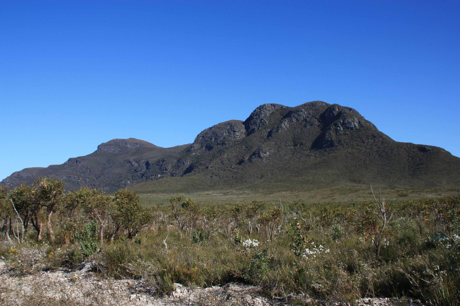
The other routes are routes with no trails and need to be treated with respect. The easiest route is the main ridge south from Isongerup. As long as you stay on top of the main ridge remembering to curl slightly eastwards it is difficult to get lost. There is some thick bush through which you have to pass but technically this is not difficult. The other routes are more technically demanding particularly the one going up the south side of Bluff Knoll. There are other routes such as the main ridge north from Isongerup and a route to the south, just west of the first arrow. The latter is technically difficult and dangerous due to heavy scree. The route down the ridge north of Isongorup is relatively straightforward although the vegetation does get very thick towards the northern Plains particularly on the eastern side. It is much easier to travel down the fire break trail from the first arrow.
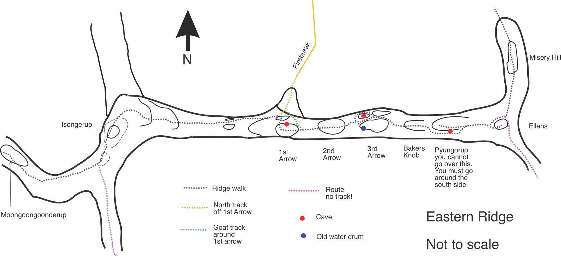
First Arrow to Northern Plains
a1 to TThis was already discussed but I repeat this again here. This track is actually a very good track and takes you straight to the fire break coming off the main fire breaks going east and west from the car park. From the first arrow cave, the trail takes you to a small cleft over a rocky outcrop to the north. Head down around the side to the rocky ridge that leads slightly off in the direction of Isongerup. From here the track goes down to the fire break which leads to the long fire break going east to west from the car park. Going up this track takes about one and a half hours and going down this track to the fire break about 45 minutes. This is the track you would join if you take the longer route around the base of this arrow. This is a very handy route if you wish to do a two or three day walk climbing up Ellen Peak, traversing the most interesting, technical part of the route and then going down the first arrow back to the car park in the north-east side of the park.
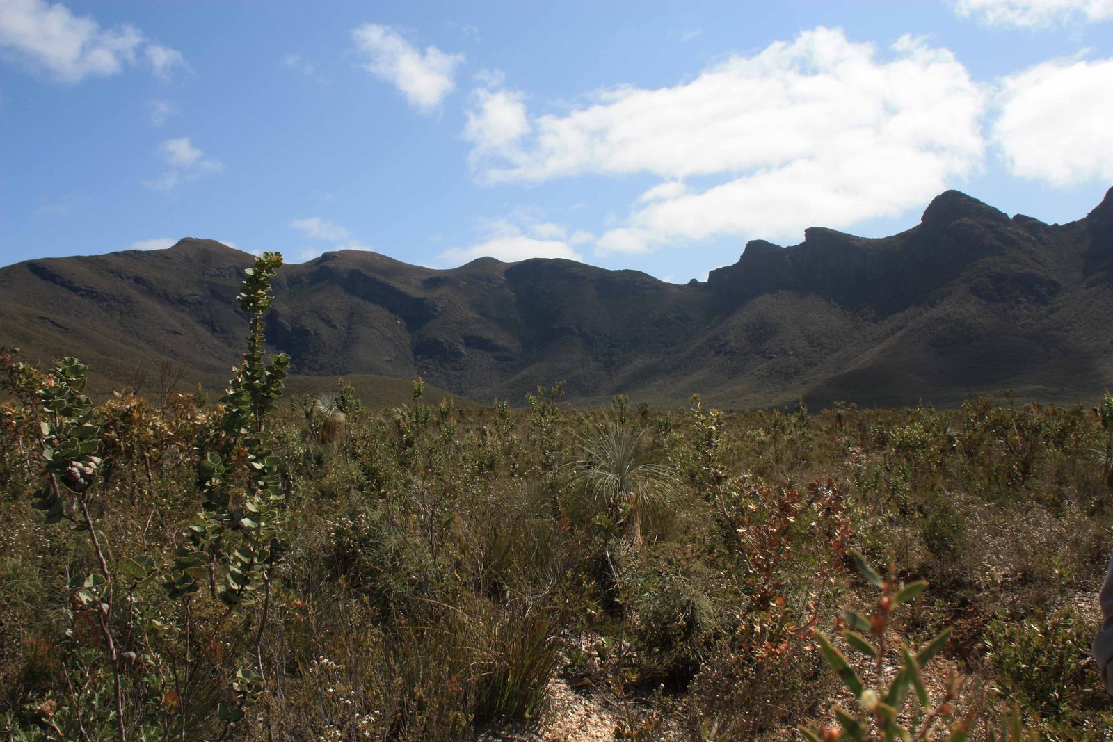
Isongorup to the Southern Plains
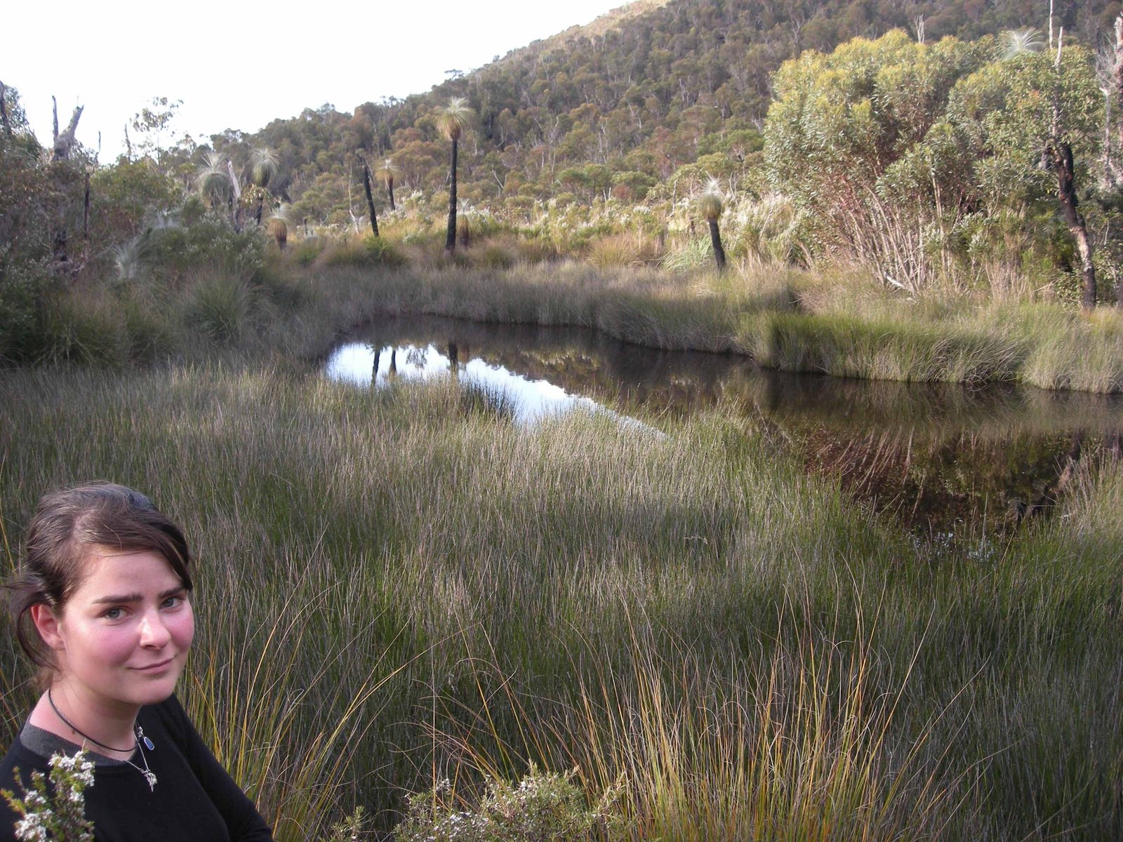
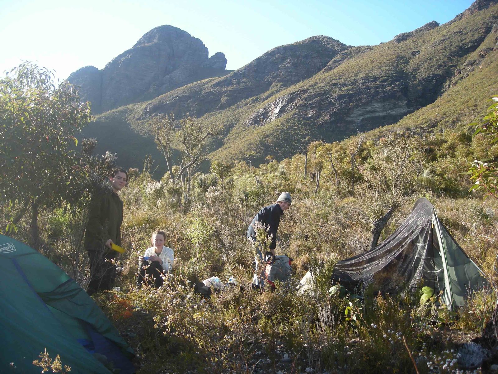
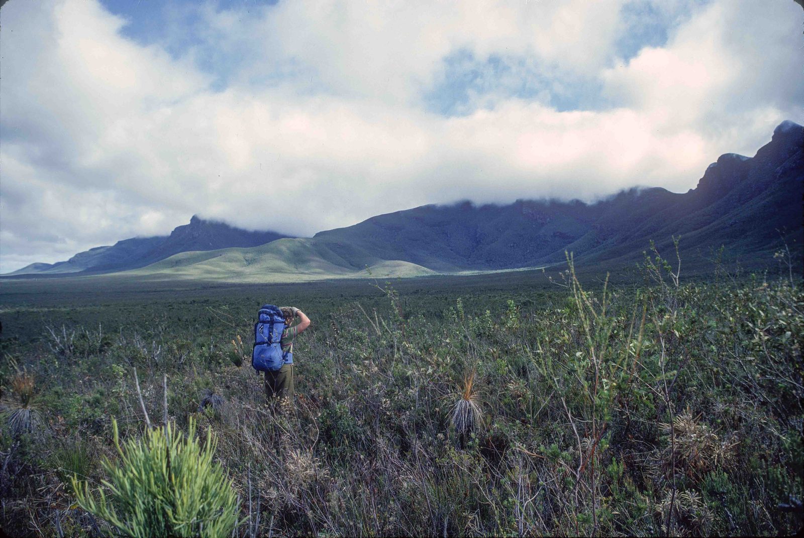
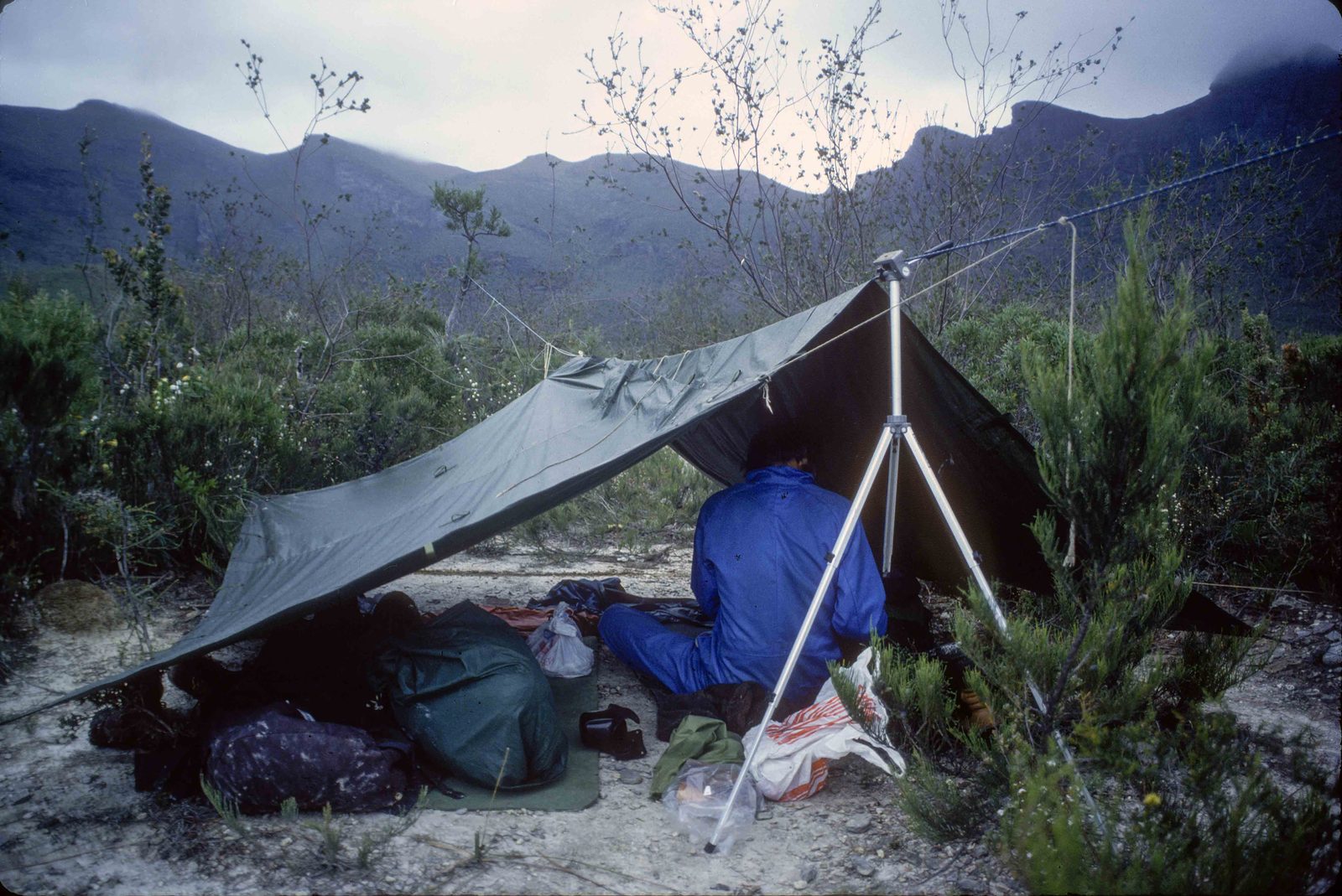
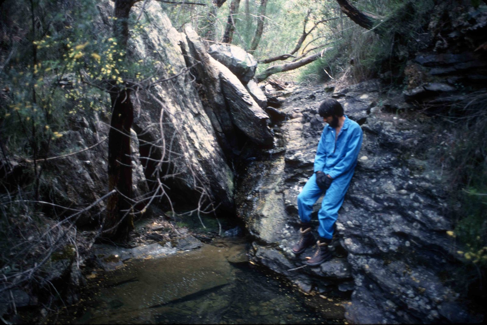
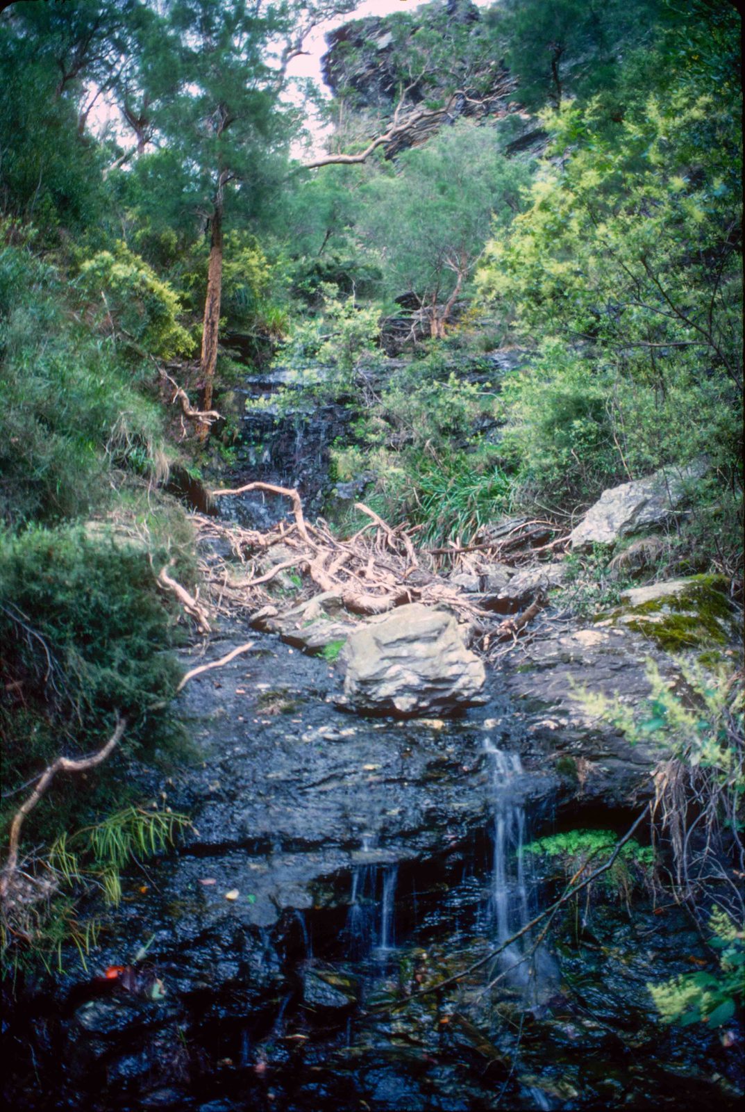
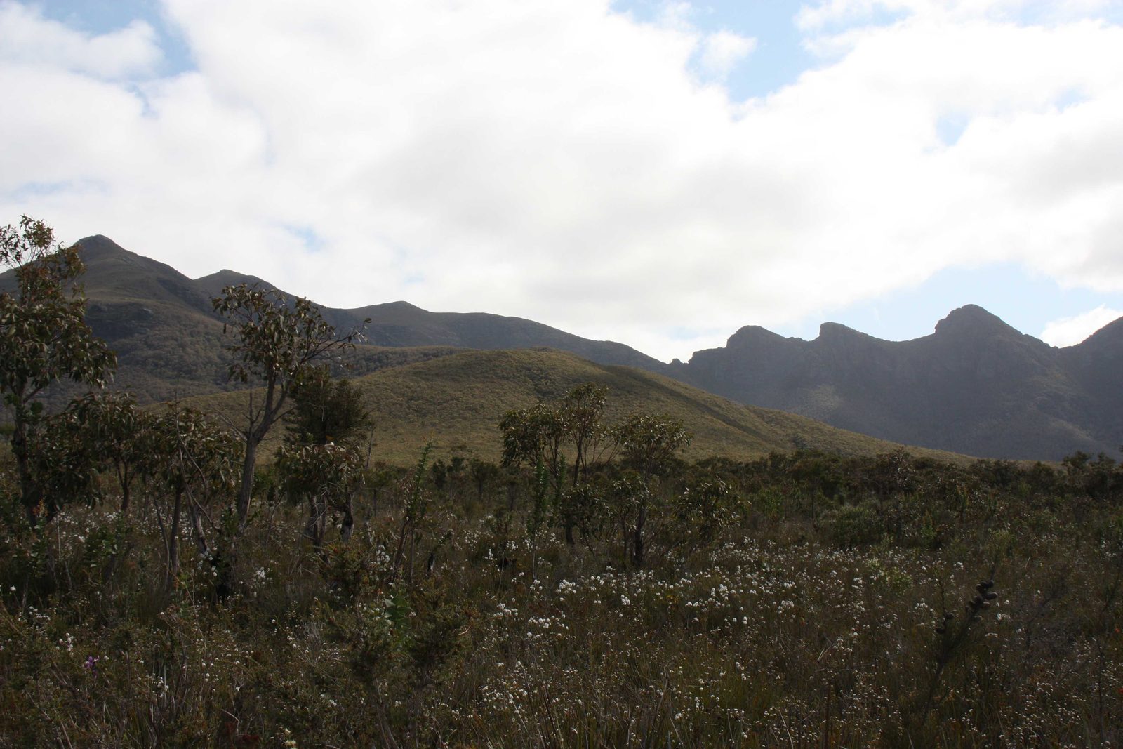
3.5 hoursFrom Isongorup (I) head towards Moongoongoonderup then leave the track and head along the top of the large ridge that heads south Southeast. The first section comprises a series of small rock crops with the interrupting intervening bush being short but thick. From here the bush thickens and becomes above head height. Stick to the high part of the ridge and avoid slipping down the side. Tend to stick to the east side and the ridge will start to curl easterly taking you down to the southern plains near a fire break trail (J). On the other side of this trail there is quite a large creek which usually has good water. You can camp here but there is actually a better place to camp on the south side of Moongoongoonderup, where there is an even bigger creek with excellent water. To get there, simply follow the fire break south then west and then north using the map sites: J to H to K to L. this is a lovely camping spot and a very special area. One can easily spend several days here, exploring the south side of Moongoongoonderup and following the creek to various small waterfalls. The area is very special and needs to be treated with respect. You will see unusual frogs and other animals as well as interesting vegetation.
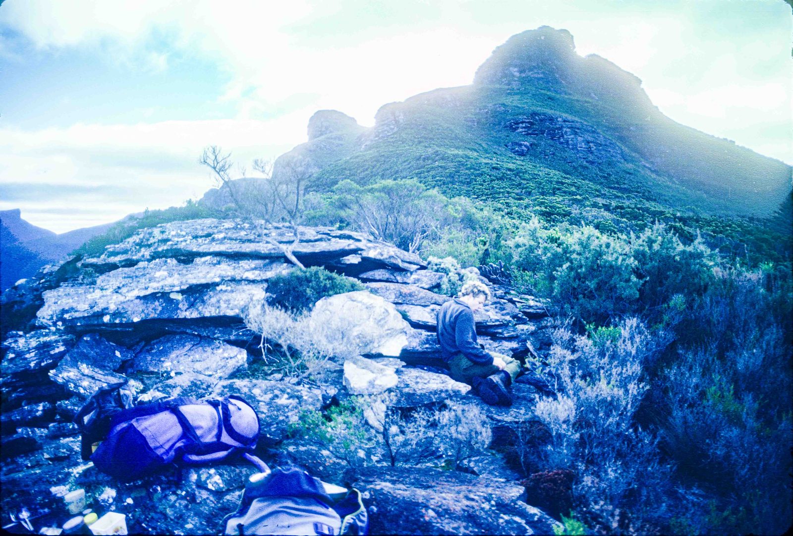
Southern Plains to Ellen Peak
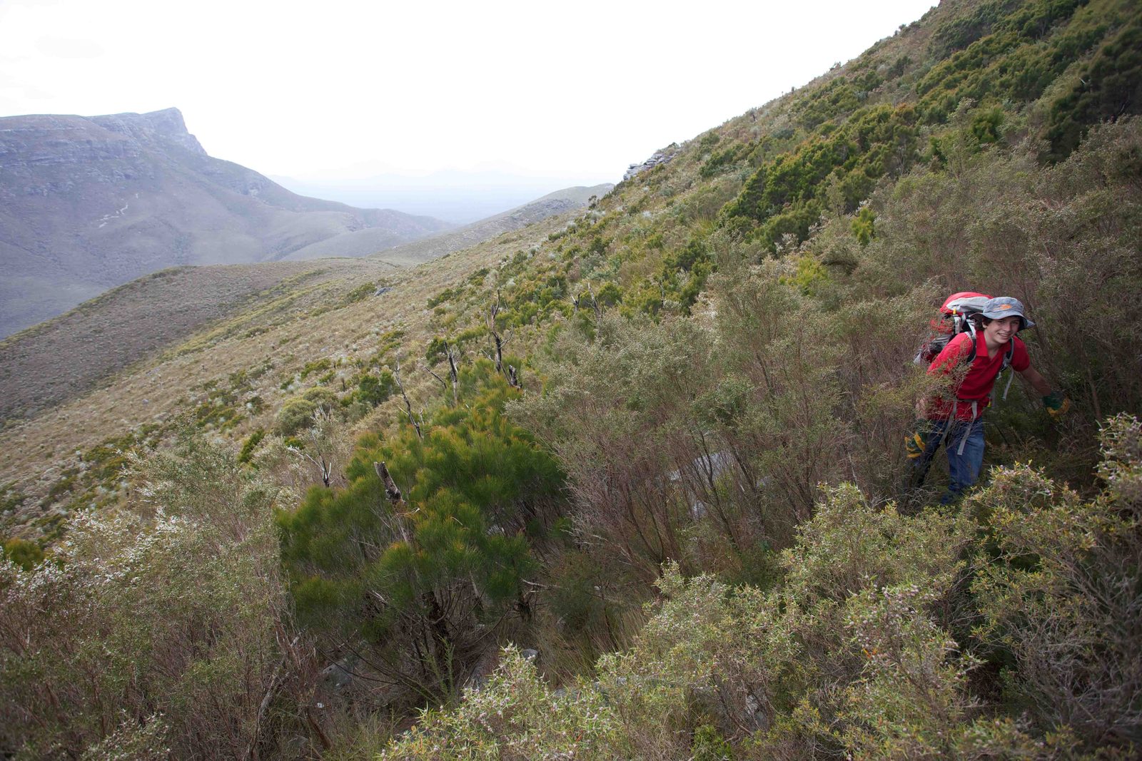
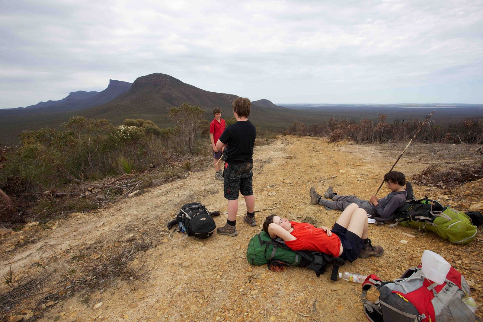
7 hoursThis is a difficult walk with a lot of bush bashing. Allow about seven hours. You may be faster but you also may be slower. The route is relatively self-explanatory from the map. In essence, from Moongoongoonderup Creek you follow the fire trail from L to K to H, which is simply the part of the fire break trail closest to the ridge coming off Ellen Peak curling around towards the south-west. You will see this. You should not attempt to do this in misty or bad weather where the visibility is poor. Head towards that ridge and make sure you’re aiming for the correct ridge. With any of these non-tracked routes heading up to the main ridge, make sure you take your own set of notes from what you can see because once you are climbing up ridges, usually the visibility due to the bushes and steepness restricts your ability to make sensible decisions about which way to go. This is particularly important on this particular route and also even more important on the route going up the south side of Bluff Knoll. This route is quite pretty and you will pass through zones of thick tall trees and also some very attractive small clearings (G). It becomes thicker and steeper with shorter trees as one starts climbing up the main part of the southern ridge. Eventually you’ll reach rocky parts which means that the worst is over. Go over the rocks and reach more bush then another rocky climb which is not technical. Turn up through thick bush to the top of the major ridge (see the turn on the map). There is a rocky outcrop just up from here with a small cairn on it. Don’t worry if you miss this as it is easy to do so. From here follow the ridge up to the bottom of Ellen Peak dome (E). It is quicker to go to the left around the dome or you can traverse around to the right. You can also come down this route from Ellen Peak to the southern Plains. It is relatively straightforward but you do need to be careful to stay on the main ridge.
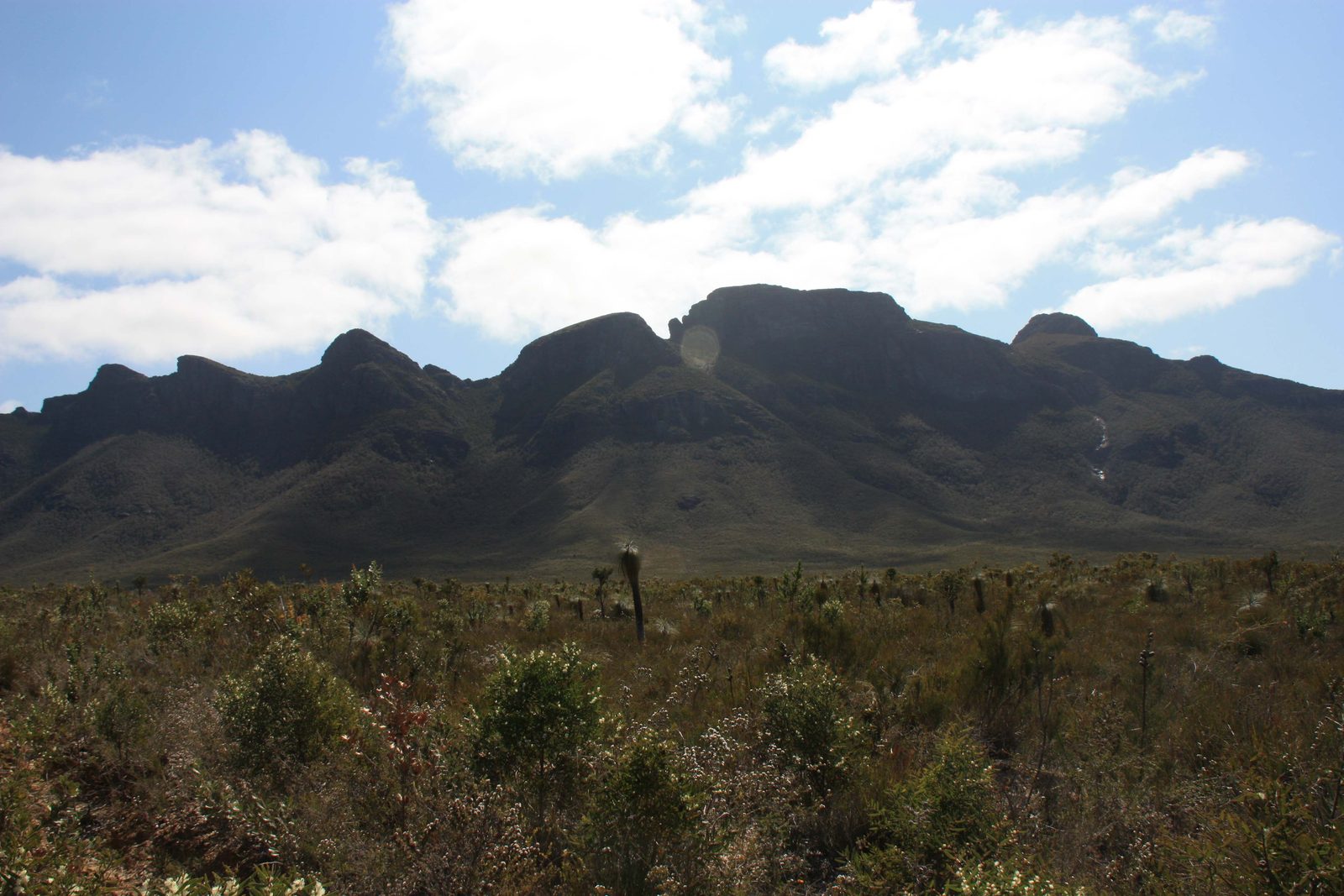


Southern Plains up the South Side of Bluff Knoll
7 hours +High risk of getting lost and reaching impassable cliffs, from which you must retrace your whole route. Start early, carry plenty of water, take careful notes on the way up, and do not attempt it in poor weather or poor visibility. Best done up from the plains first — only then attempt it downward from Bluff Knoll.
This is definitely only for experienced bushwalkers. Start early in the morning because there is a chance you may have to retrace your route all the way back. There is a high risk that you will get lost and take a wrong turn and end up at a cliff face from where you will have to simply head back to the southern plains. Make sure that you take sufficient water as it is very steep and arduous, and you will get hot. Do not do this if the weather is poor or visibility is poor. You simply have to be able to see where you’re going. You must take some notes as you head towards the south east ridge coming off Bluff Knoll. There are several false ridges that are very close as you get higher and it is easy to take these ridges. This is particularly important if you are coming down from Bluff Knoll to the southern Plains using this route. It may be fair to say that you should not do this route from the Bluff Knoll side unless you have successfully gone up this route from the southern plains. That way you will know what you are in for. In essence, from the Moongoongoonderup creek campsite you follow the route L to M to N. You ascend the ridge sticking slightly to the north side of the crest as you go higher. There will be steep sections where you’ll be climbing up some short rock faces and this is where you need to have taken notes about which rock faces to take and which clefts between rock faces to ascend. You will reach the slanting plateau which is the top of Bluff Knoll. From here head north to the northern edge of Bluff Knoll and then go west to join the public viewing area and main track.
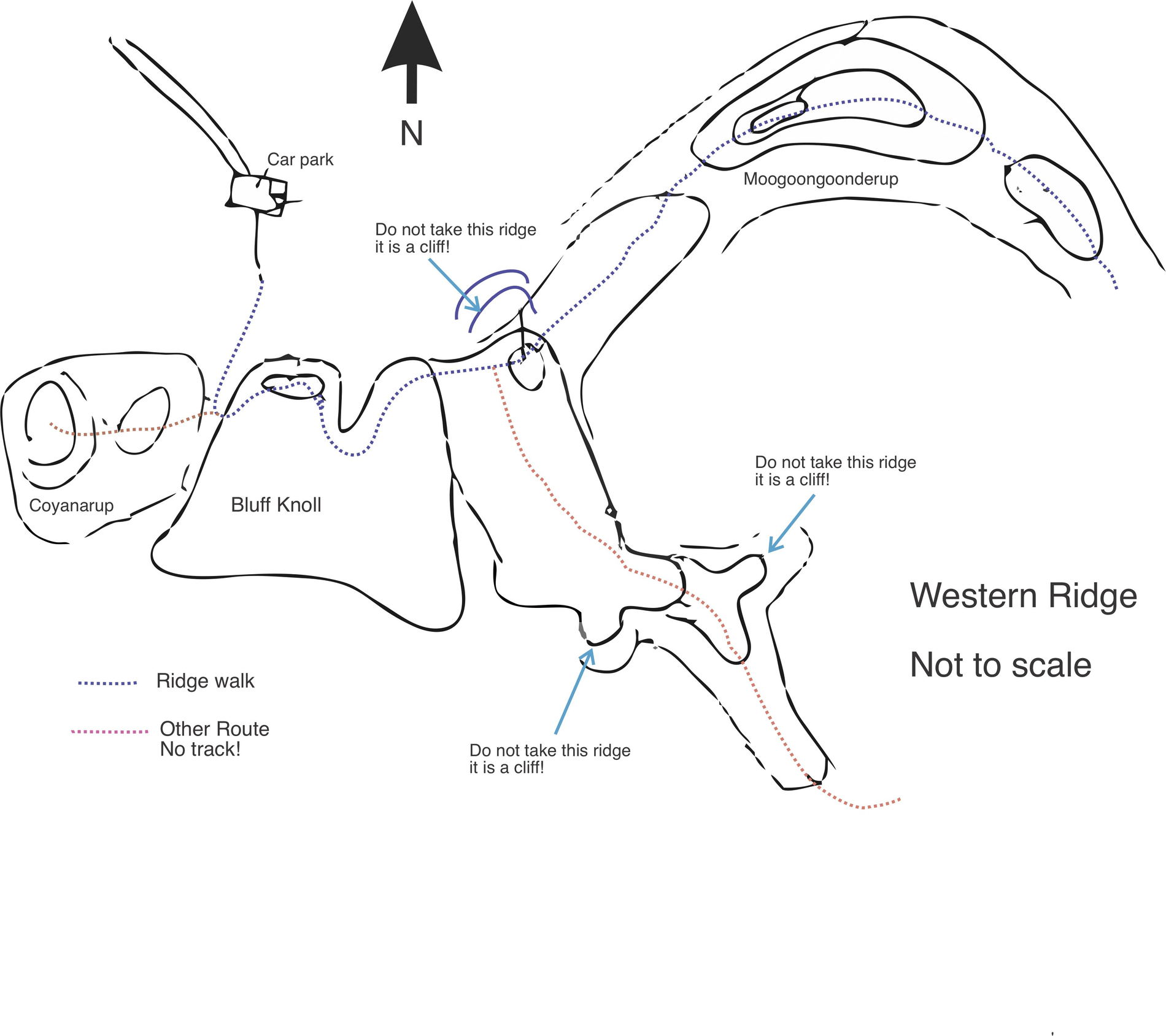
Fire break trails from the Southern Plains to Bluff Knoll Road
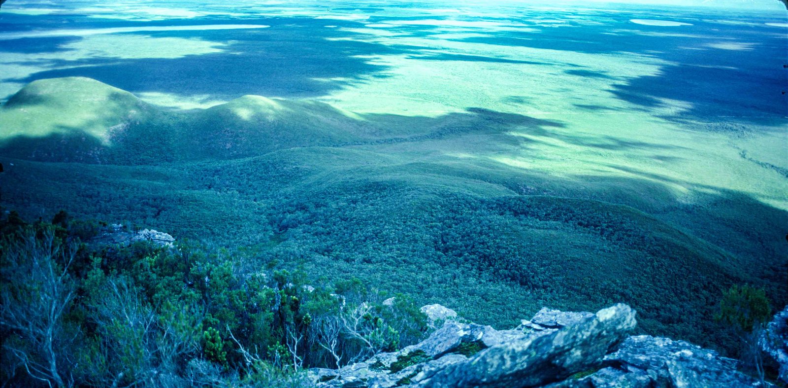
15 hoursFrom Moongoongoonderup creek campsite you can take a very long path around to the Bluff Knoll Road going from L to P to Q to R and S. You do get some nice views particularly of Mount Success and Coyanorup. You will see the southern side of Bluff Knoll and may be fortunate to see waterfalls coming off the southside after heavy rains. This is a long walk though and allow 15 hours. Once you leave the southern Plains there is no water. In fact to my unpleasant surprise, the creeks on the north side of Bluff Knoll are salty. So take plenty of water with you.
These lines are easier to follow on the detailed map, where each lettered waypoint is marked.